GEOTREND EGYPT
GEO INTELLIGENCE SOLUTIONS
Services
About
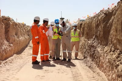
- GeoTrend Egypt providing Geomatics services with experienced staff and advanced equipment, we work with each client to achieve the optimum solution for each project through a specialized team trained in advanced data acquisition and effective project management techniques.
- By fully understanding each project scope, schedule, and budget, our Geomatics expertise in topographical mapping, GIS & Remote Sensing, Geo-spatial data acquisition, analysis, processing, fleet management interpretation and presentation can make critical decisions in the field, minimizing delays and eliminating unnecessary costs.
- This combination of technical expertise and project management know-how creates a team that can effectively and independently manage a project from start to finish.
- We employ advanced technologies to gather accurate geospatial data efficiently. This capability enables us to address all project needs, regardless of size, location, complexity, conditions, or time constraints.
Projects
Clients
Contact
- 10Hassan Aflaton, ard elgolf, Nasr City, Cairo Governorate, Egypt
